DBG Borneo Profile
Indonesian Borneo

Kalimantan Regional Profile

The Indonesian region of Borneo and home to diverse Indigenous Dayak communities.

Borneo Regional Map

Highlighted: Kalimantan
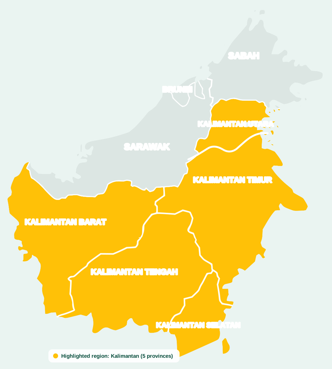
Kalimantan Regional Map
Geographic reference map of Borneo. Interactive regional highlighting is being integrated for Kalimantan, Sarawak, Sabah and Brunei Darussalam.

Kalimantan

Kalimantan comprises the Indonesian portion of the island of Borneo. It includes West Kalimantan, Central Kalimantan, South Kalimantan, East Kalimantan and North Kalimantan. The region contains extensive Indigenous Dayak cultural diversity, major river systems, tropical forests, customary territories, growing urban centres and strategic economic corridors.


Country / Jurisdiction
Indonesia
Administrative Status
5 Provinces
Capital / Administrative Reference
Pontianak, Palangka Raya, Banjarmasin, Samarinda and Tanjung Selor
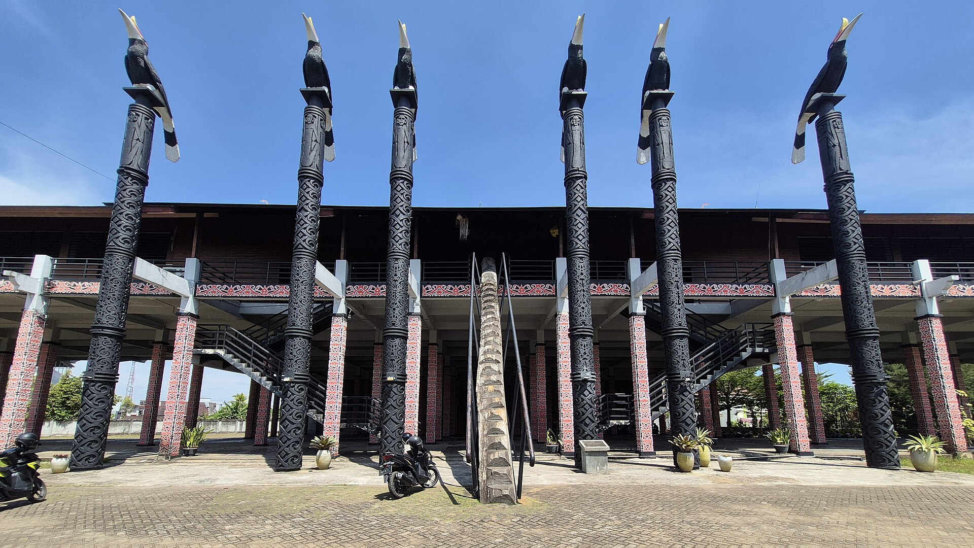
Dayak longhouse in Kalimantan
Dayak Longhouse

A glimpse of longhouse architecture and community life in Kalimantan.

Kalimantan at a Glance

Total Population
Official figure to be verified
Indigenous Population
Research and official sources being compiled
Administration
5 Provinces
Data Integrity: Population and Indigenous demographic figures will only be published after verification against official statistics or clearly identified research sources.

Major Indigenous / Dayak Communities

This is an initial reference list. DBG will progressively refine the ethnographic information with regional experts and authoritative sources.

Kanayatn Iban Bidayuh Kayan Kenyah Ngaju Ot Danum Ma’anyan Tunjung Benuaq Punan Tamambaloh Kantuk Mualang Ketungau Desa Pesaguan Jelai Simpakng Other Dayak communities

Strategic Focus

Indigenous economic development
Customary culture and heritage
Human capital and education
Forest and environmental stewardship
Digital transformation
Cross-border Borneo cooperation

Explore Other Borneo Regions

DBG connects Kalimantan, Sarawak, Sabah and Brunei Darussalam through one regional Indigenous platform.